Building the future resiliently, intelligently and sustainably.
Infrastructure
In the rapidly evolving field of infrastructure development and maintenance, LiDAR-equipped drones are transforming the way we assess, monitor, and manage critical structures. These advanced aerial systems provide high-precision 3D mapping and imaging, allowing for efficient and cost-effective data collection without the need for extensive ground surveys.
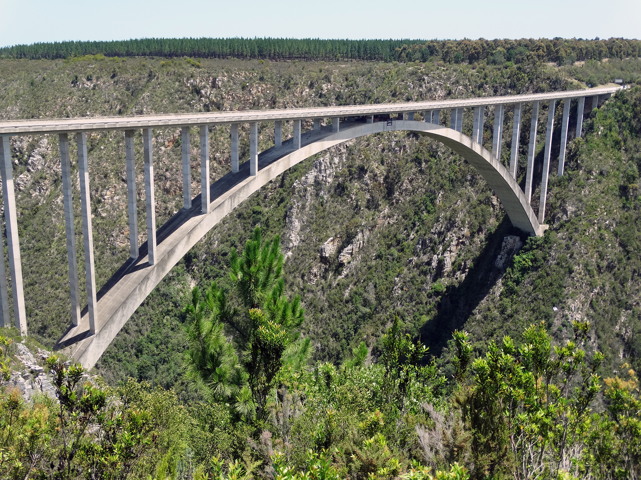
One key application is bridge inspection and analysis, where our indoor drone captures detailed structural data, identifying potential weaknesses, cracks, and deformations with unparalleled accuracy. This technology enhances safety by minimizing the need for manual inspections in hazardous conditions, while also improving project timelines and reducing maintenance costs.
Beyond bridges, LiDAR-equipped drones can play a crucial role in many other infrastructure use cases, offering real-time insights that drive smarter decision-making. By leveraging this technology, infrastructure professionals can ensure greater efficiency, sustainability, and longevity of essential public and private assets.
-
High-Precision Data Collection
- Generates accurate 3D models for detailed analysis and planning.
-
Enhanced Safety
- Reduces the need for manual inspections in hazardous environments.
-
Cost and Time Efficiency
- Cuts down survey and inspection time while lowering operational costs.
-
Comprehensive Structural Monitoring
- Detects early signs of wear, cracks, and deformations for proactive maintenance.
-
Versatile Applications
- Supports a wide range of infrastructure projects, from bridges to railways and urban planning.