Exploring, understanding, and preserving the world’s glaciers.
Glacier
LiDAR-equipped drones revolutionize glacier research by providing precise 3D mapping and monitoring of ice formations, crevasses, and movement patterns. This advanced aerial system captures high-resolution topographic data, allowing scientists to analyze glacial dynamics, measure ice loss, and assess the impacts of climate change with unparalleled accuracy.
By eliminating the risks associated with traditional ground surveys, the LiDAR drone enhances safety while enabling faster and more efficient data collection, even in remote and hazardous environments. This technology supports a wide range of applications, from climate studies and hydrology to glacial hazard assessments and environmental conservation.
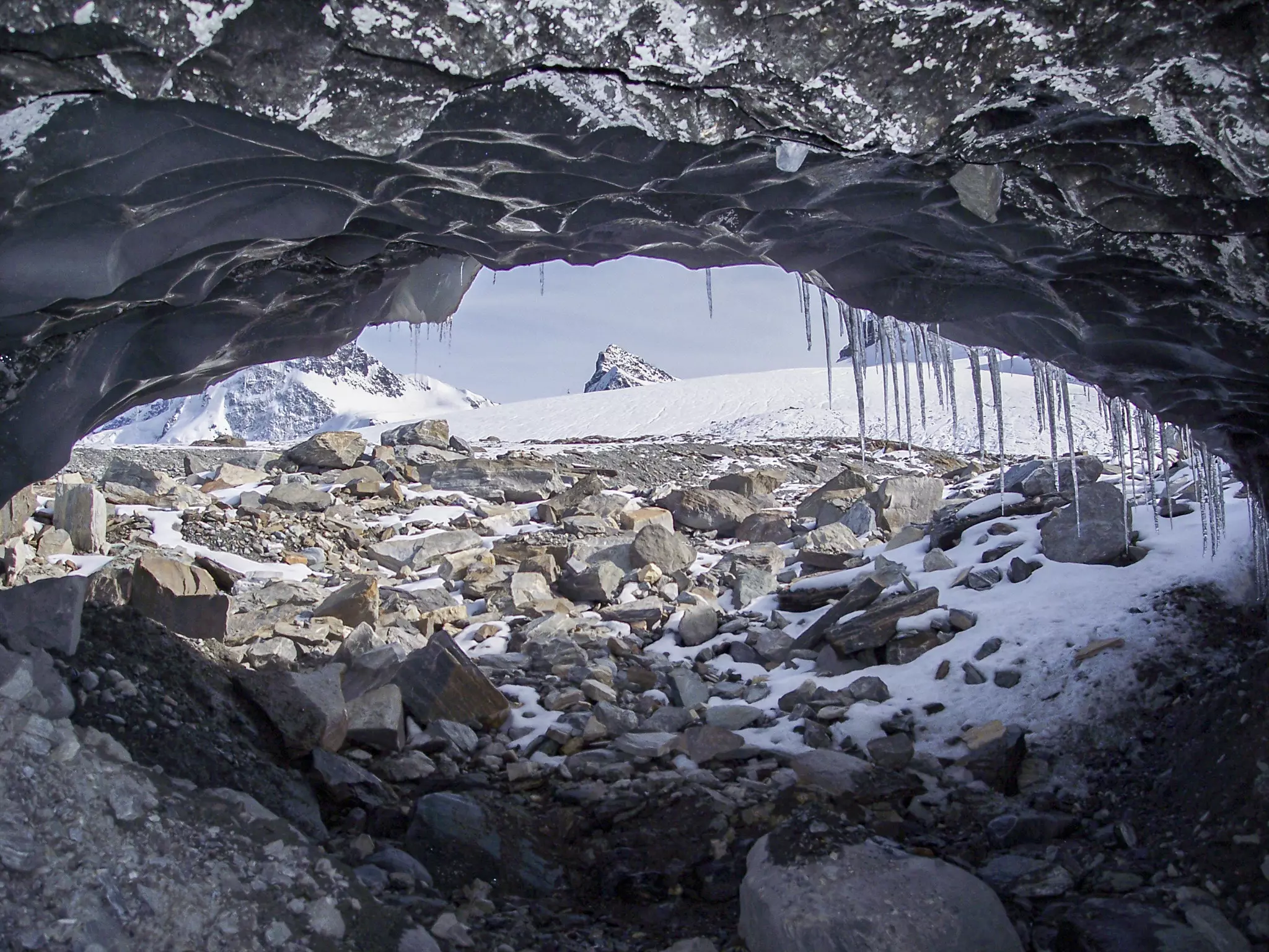
This indoor drone also offers significant advantages in exploring glacial caves and moulins – the deep, winding shafts that carry meltwater through glaciers. It can navigate and map these hidden structures with high precision, providing critical insights into ice flow, meltwater drainage, and structural stability. By capturing detailed 3D models, researchers can better understand how glaciers evolve internally and assess potential hazards posed by unstable ice formations.
-
High-Precision Ice Mapping
- Generates detailed 3D models to track glacier changes over time.
-
Enhanced Safety
- Allows for remote surveying of dangerous or inaccessible glacial terrains.
-
Efficient Climate Monitoring
- Provides precise data to support climate change research and environmental preservation.