Uncovering the past.
Archaeology
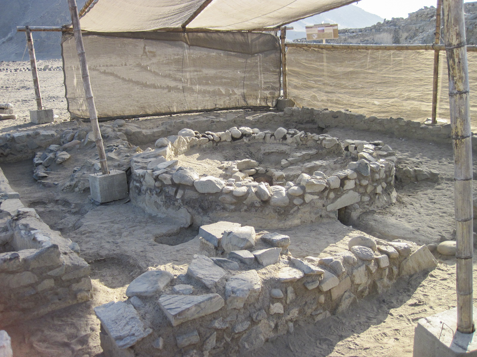
LiDAR-equipped indoor drones are transforming archaeological exploration by providing high-precision 3D mapping and surveying of both surface and subterranean sites. This technology allows researchers to uncover hidden structures, analyze landscapes, and document fragile sites with unprecedented accuracy — without disturbing the historical integrity of the locations.
A key application of a LiDAR drone in archaeology is the exploration of historic mines, as well as ancient underground water channels and cisterns. These structures, often inaccessible or too dangerous for traditional surveys, can now be mapped in detail, revealing insights into ancient engineering, resource management, and daily life. The indoor drone helps archaeologists assess the extent and condition of these subterranean systems, facilitating preservation efforts and expanding our understanding of past civilizations.
-
Efficient High-Precision Mapping
- Generates detailed 3D models to document excavations or historic sites.
-
Enhanced Safety
- Enables access to hazardous or hard-to-reach areas, such as collapsed mines and deep cisterns.
-
Non-Invasive Exploration
- Preserves fragile archaeological sites by eliminating the need for intrusive excavation.