Exploring the depths with precision, technology, and adventure.
Caves
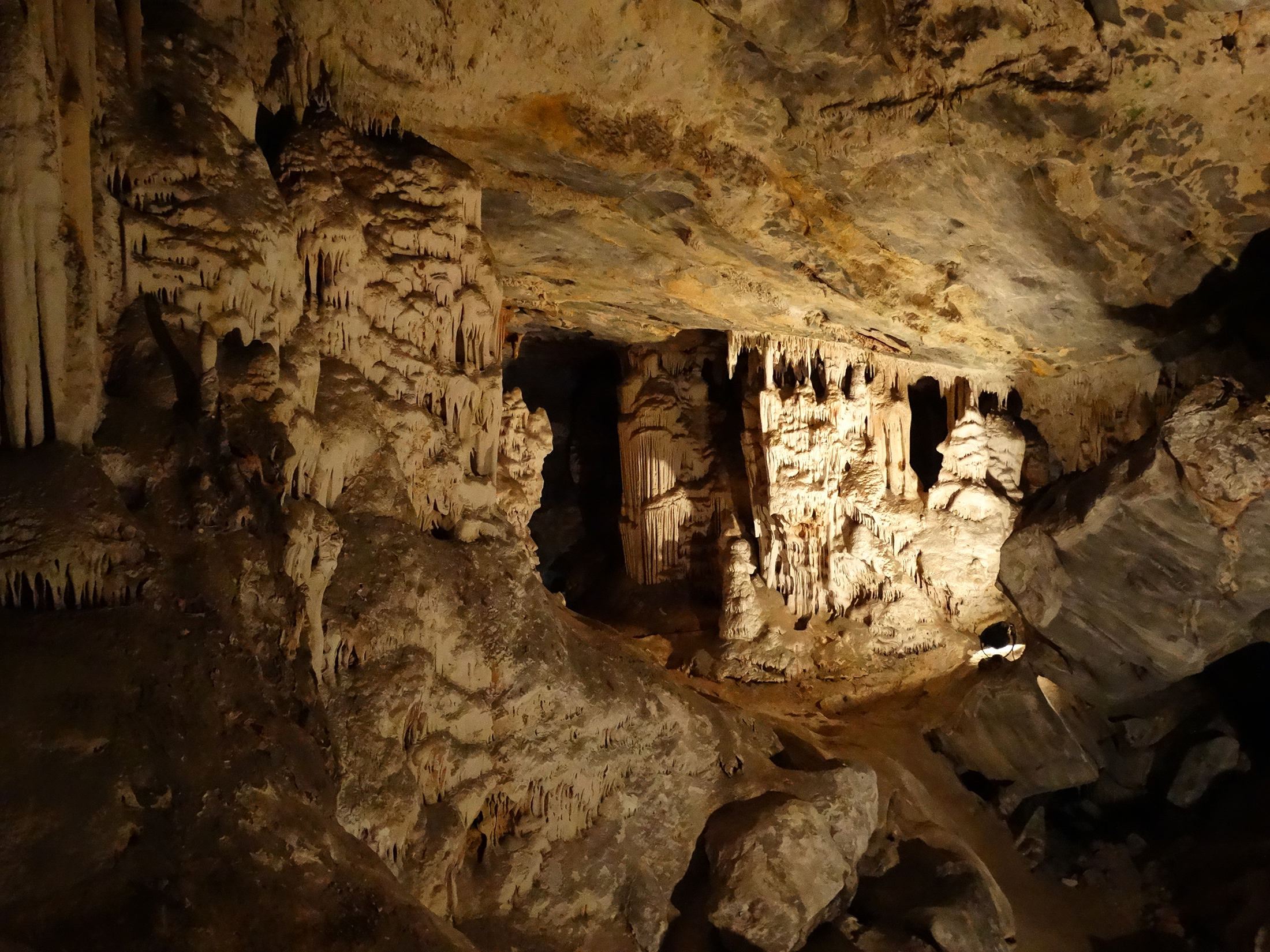
LiDAR-equipped indoor drones transform cave exploration by providing high-precision 3D mapping and surveying in environments that are otherwise difficult or dangerous to navigate. These advanced drones penetrate into cave systems, capturing detailed topographic data even in complete darkness, helping researchers, geologists, and archaeologists analyze underground structures with unprecedented accuracy.
By eliminating the need for physical entry into hazardous or hard-to-reach areas, indoor drones enhance safety while delivering faster, more comprehensive data collection. This technology supports various applications, from scientific research and conservation to search-and-rescue missions and geological assessments.
-
High-Resolution 3D Mapping
- Captures precise underground structures, aiding research and documentation.
-
Enhanced Safety
- Reduces risks by surveying unstable or inaccessible areas remotely.
-
Efficient Data Collection
- Speeds up exploration and analysis while minimizing human impact on fragile ecosystems.